After nearly two years of unusually warm and dry winters, an Arctic cold front sweeping across the United States has ushered in heavy snow and record-breaking subzero temperatures this week.
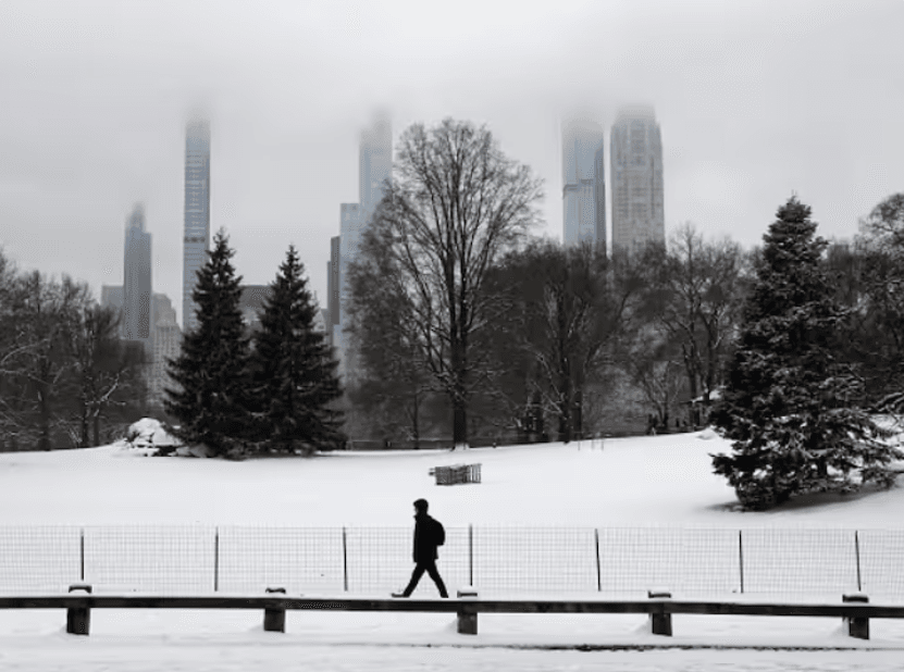
In New York City, which has seen barely a dusting of snow since 2021, up to 1.4 inches coated Central Park as of Tuesday morning. The National Weather Service’s New York office announced on Facebook, “The streak has ended!” referring to the two-year drought of significant snowfall.
Parts of western New York endured a massive blizzard dumping over 3 feet of snow, with a further lake-effect snow warning in place until Thursday. The interaction of cold winds with the unfrozen Great Lakes frequently causes localized heavy snow in winter.
The nation’s lowest temperature was recorded at -36F in Briggsdale, Colorado, with wind chills poised to hit -30F across the Northern and Central plains. At least 5 deaths have been linked to the cold snap so far.
The chill has extended to the UK as well, with Tuesday night expected to be the coldest January night since 2010. Scotland in particular may see over 10cm of snow and temperatures as frigid as -15C.
The extreme weather has prompted school closures in Scotland and northern England. Yellow warnings for ice and snow have been issued UK-wide. By Friday, over 40cm of snow is predicted to pile up in Scottish highlands.
With the NHS under pressure, the UK Health Security Agency released an amber cold weather alert, citing threats to elderly and vulnerable citizens. Temperatures are running 5 to 6 degrees Celsius below the January average.
So after years of mild winters, the US and UK are finally witnessing a bone-chilling cold spell and disruptive snowfall thanks to winds sweeping down from the Arctic circle.